

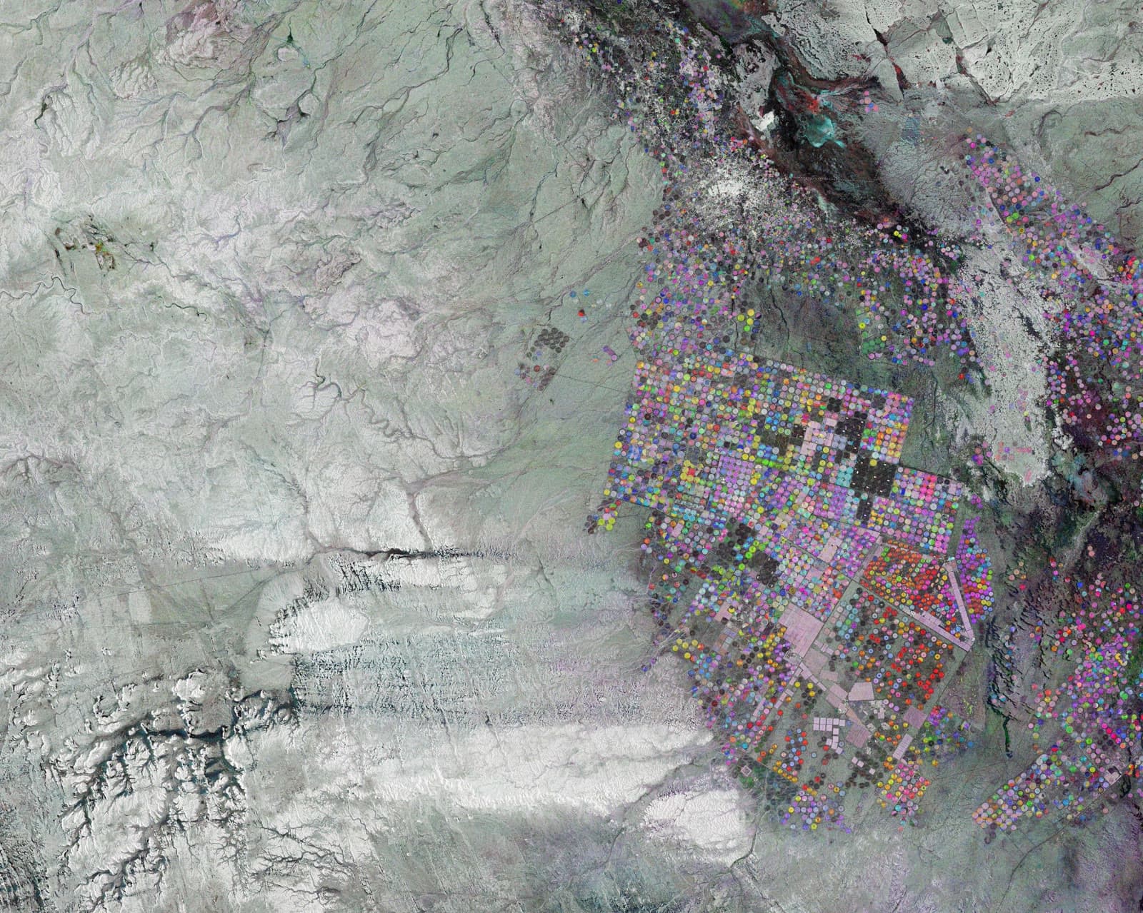
Satellite Site Monitoring
See what’s changing
on your sites.
Amelia Space Technologies turns satellite imagery, ground sensors, and third-party data into continuous monitoring and automated alerts. It is how a water utility catches an algal bloom forming, days before the lab results, and knows which reservoir to sample first.
Protecting drinking water for 40% of Northern Ireland·NASA Sustainable Business Model Challenge winner
The product
This is what your team sees each morning.
No dashboards to build, no imagery to interpret. Amelia watches your reservoir from orbit and gives you one clear read: is a bloom forming, and do you need to send someone to sample?
Source-water reservoir
Algal bloom satellite nowcast
Conditions favour a bloom. The satellite signal is elevated and above the sample-now line, but no bloom is confirmed yet.
Recommended
Pull an in-situ sample this week and review carbon dosing.
Taste & odour (geosmin) risk
Chance your next weekly grab sample crosses the taste threshold.
An early signal, not a lab result. Amelia tells you which reservoir to sample and when, days before the numbers come back. Only an in-situ sample confirms or rules out a bloom. Illustrative preview.
An early signal, not raw data
A bloom reading with a plain-English verdict and a recommended action. No imagery to interpret, no dashboard to build.
Know which site to sample first
Amelia covers every reservoir from orbit and tells you where the risk is, so you send your team to the one that needs them.
Days before the lab
A satellite catches a bloom forming before a grab sample comes back, and before your customers taste it.
How it works
From satellite signal to decision.
Detect
Amelia ingests every satellite pass over your site and flags what changed since the last look.
Understand
AI models plus human-in-the-loop review classify the change and filter false alarms, so an alert means something.
Predict
Risk scoring combines current signals with historical patterns and weather to flag a problem before it is visible.
Act
You get the alert and a recommended action, in plain language. Analysis that took months takes minutes.
What goes in, what comes out
What goes in
Sentinel-1 (C-band SAR)
All-weather radar that sees through cloud, smoke, and darkness. 4 to 5 passes a week at mid-latitudes.
Sentinel-2 (multispectral optical)
10 m optical imagery across 13 spectral bands, every 2 to 3 days in clear conditions.
Landsat archive
A multispectral record reaching back to the 1980s, for baselines and long-term change.
Commercial high-resolution tasking
Sub-metre optical and radar brought in when a specific site needs a closer look.
Ground and in-situ sensors
Your lab and field readings, fused with the view from orbit to anchor and sharpen it.
Third-party and regulatory data
Weather, terrain, land registry, and compliance datasets, layered onto the same map.
What comes out
A bloom nowcast
A 0 to 10 signal read with a plain-English verdict, so anyone on the team knows the status at a glance.
Automated alerts
Email or API the moment a site crosses a threshold, with a recommended action attached.
Where to look first
Risk scores and priority ranking across every site, so a small team can hold a large territory.
Taste-and-odour risk
Geosmin risk forecast for reservoirs, before your customers ever notice.
The evidence behind it
Full-area maps, time-series, and the satellite scene each call was made from.
See it work
From raw pixels to a clear answer.
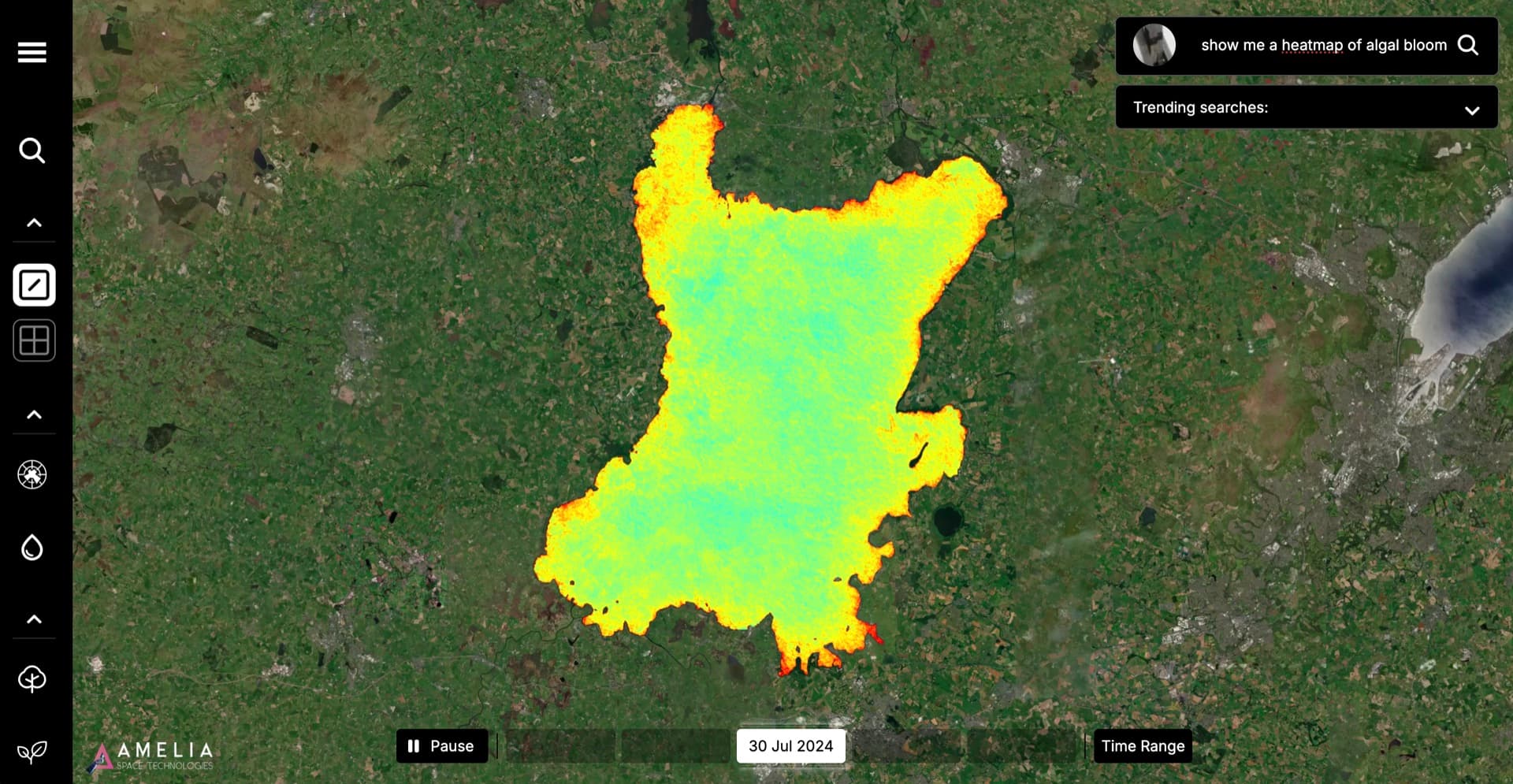
Toggle the layers Amelia works through, from a true-colour satellite pass to a bloom-classified lake. This is Lough Neagh, the deployment that started it all.
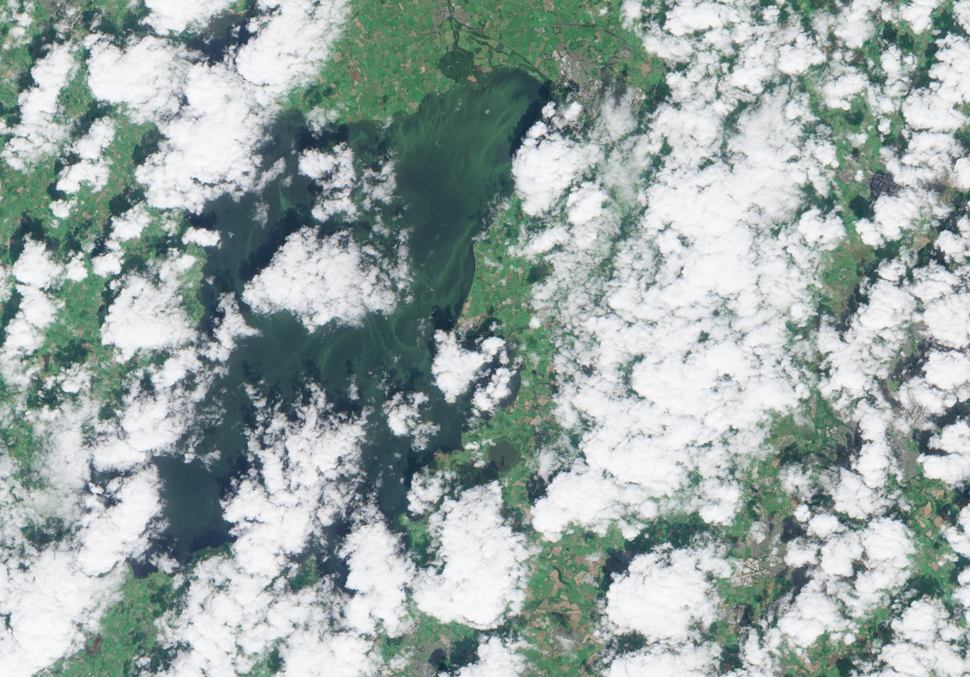
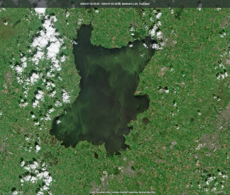
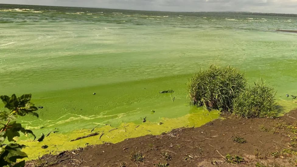
Sentinel-2 true colour composite. Lough Neagh, Northern Ireland
True Colour
Standard satellite imagery: what the human eye would see from orbit.
Bands: B4 (Red), B3 (Green), B2 (Blue). Resolution: 10m. Cloud-free composite.
What Amelia does
You don't choose bands, layers, or algorithms. You ask: “What's the bloom risk across Lough Neagh?” Amelia selects the right data, runs the right analysis, and shows you what matters.
Proven
Where it is already working: drinking water.
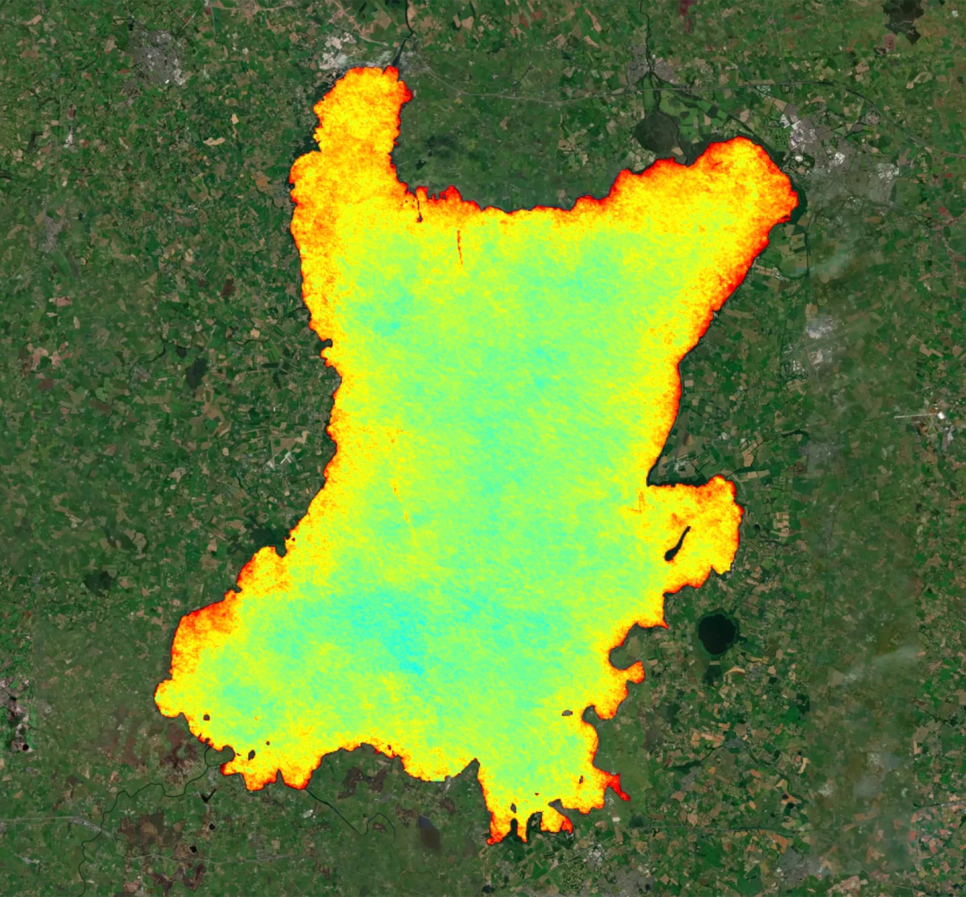
Full-lake algae concentration across Lough Neagh, from a single satellite pass. Green is low, red is high.
To help protect drinking water for 40% of Northern Ireland, Amelia mapped harmful algal blooms across Lough Neagh, the UK’s largest lake, and identified priority areas 10x faster than conventional analysis. Full-lake coverage, not a few sampling points.
The same capability now runs for a US water utility that came to Amelia directly, monitoring its source-water reservoirs for algal bloom and taste-and-odour risk.
“Working with Amelia Space Technologies on the DAERA funded Lough Neagh remediation project has been a highly rewarding experience. Their technology can uniquely pinpoint critical water quality problems such as bloom formation, delivering easy-to-understand insights that enable us to respond proactively. We see clear value in reduced response time, improved accuracy in diagnostics, and overall cost and time savings.”
Dr Marco Lizzul
Innovation Manager, Varicon Aqua Solutions Ltd
A bloom does not wait for your next sampling round.
By the time a grab sample comes back from the lab, the water has moved and the bloom has spread. Satellite monitoring gives you the days back.
Bring your site to AmeliaWhere it applies
For the sites too big, too remote, or too important to guess about.
Today
Water utilities and authorities
Early warning for source water: harmful algal blooms, taste-and-odour (geosmin), turbidity, and contamination risk across whole reservoirs.
Reservoirs and catchments
A continuous watch over the catchments that feed supply, from bloom formation to land-use change upstream.
Environmental compliance
Evidence-grade monitoring of discharge, land use, and change over time, mapped to the checks regulators ask for.
Where we are expanding next
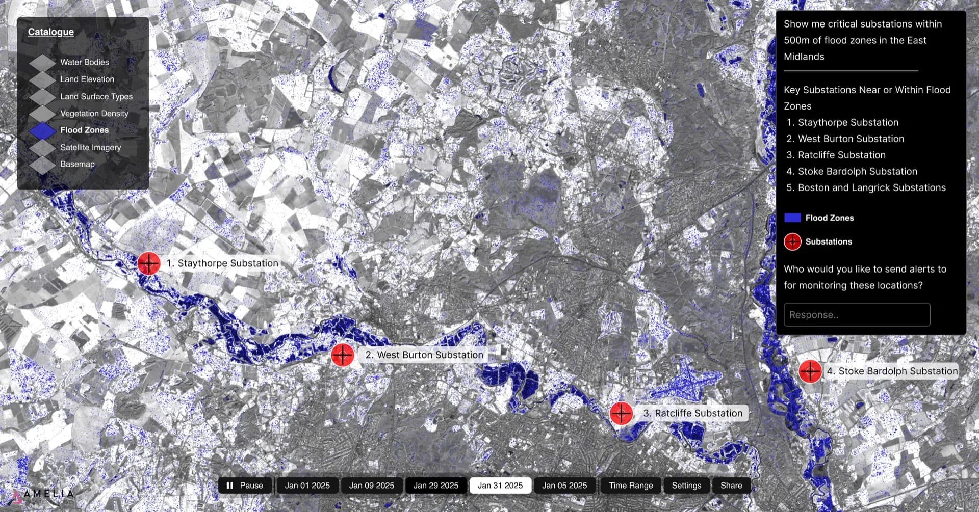
Flood and coastal
Mapping water extent and change during and after flood events, using all-weather radar.
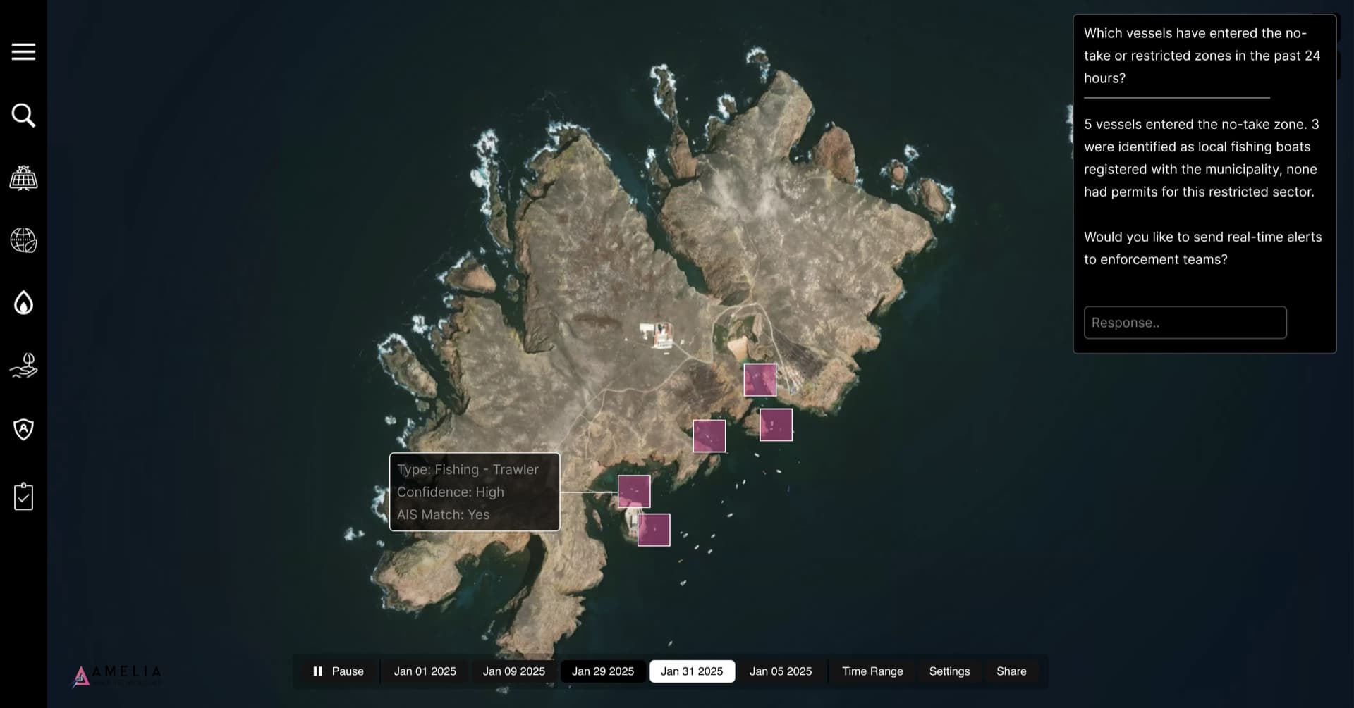
Maritime and ports
Emissions and activity monitoring, developed as part of an ESA consortium (in progress).
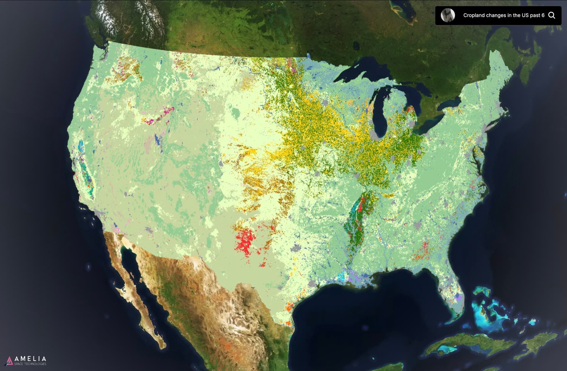
Land and vegetation change
Detecting clearance, growth, and disturbance across large or remote landholdings.
If it is a fixed place on Earth where change matters, bring it to Amelia. We will show you what a satellite already knows about it.
Bring your siteCommon questions
How do companies monitor sites with satellites?
Does satellite monitoring replace water sampling?
What can satellite site monitoring detect?
How often is a site updated from satellite?
Can you monitor a site through cloud cover or at night?
Can you monitor reservoirs for taste and odour (geosmin)?
What data sources does Amelia use for site monitoring?
How is this different from buying satellite imagery?
Start monitoring
See your site from orbit. Free.
Send us a reservoir, a coastline, or a boundary. We will send back a free satellite snapshot: what we can see today, what we would monitor, and what an alert would look like.
Share a location: a name, coordinates, or a rough boundary.
Amelia compiles your satellite snapshot.
Review it with your team.